
Chiefly plant vigour, biomass, chlorophyll and water stress, along with broader shifts in land cover, all inferred from how vegetation reflects and emits light rather than from physical sampling.

Plants constantly signal how they are doing through the light they reflect and re-emit, and a vegetation sensor is the instrument that reads those signals. By recording the specific wavelengths bouncing off leaves and canopies, it turns colour the human eye cannot separate into hard numbers on growth, water status and stress. Because the reading happens remotely and without touching a single leaf, whole fields, forests or even continents can be surveyed in a fraction of the time a ground survey would take.
Green tissue treats sunlight in a very particular way: it soaks up red and blue light to drive photosynthesis and throws back most of the near-infrared. A vegetation sensor exploits exactly this fingerprint. It compares the energy returning in each waveband and derives indices, the best known being NDVI, that climb and fall with chlorophyll content, leaf area and overall vigour. When a crop runs short of water or nutrients, that spectral balance shifts, frequently days before any change is visible to the eye, which is what makes early stress detection possible.
No two vegetation sensor designs slice the light the same way, and the choice usually comes down to how finely the spectrum is divided:
The same idea scales from a handheld probe over a single plot up to spaceborne missions such as SPOT-VGT and PROBA-V, whose imagers charted the planet’s entire land vegetation on a repeating cycle.
Raw light is only the starting point. Inside the device, a spectrometer fans out the incoming radiation with gratings or filters and logs the intensity of every channel. Software then corrects for atmosphere, viewing angle and illumination before those figures become a map or a time series. This is where careful referencing earns its keep: only well-calibrated readings from a vegetation sensor can be compared honestly from one week, one instrument or one season to the next. Multi-year satellite records exist precisely because each new imager was cross-checked against the one before it.
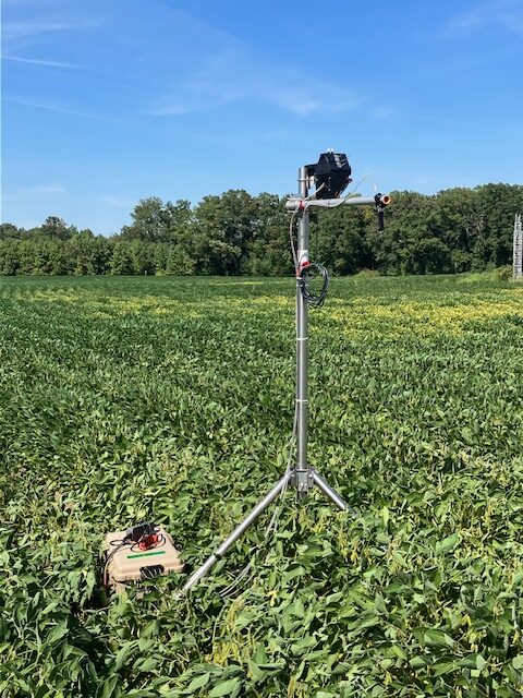
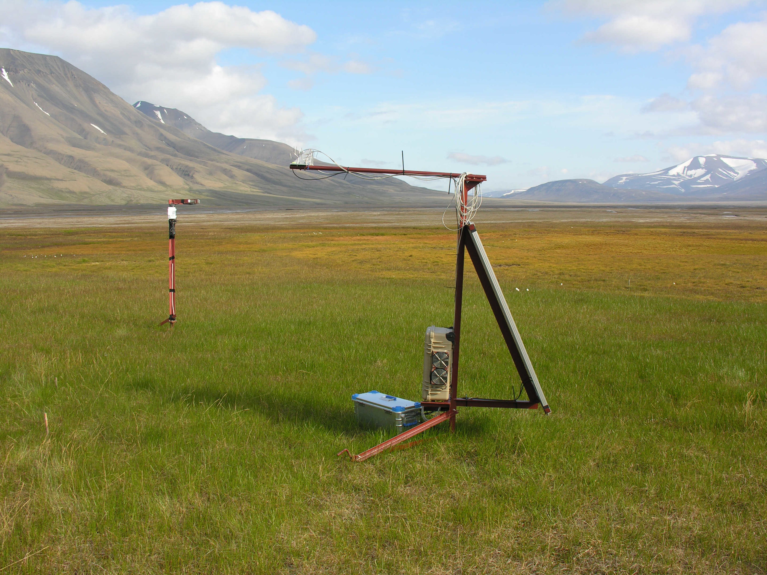
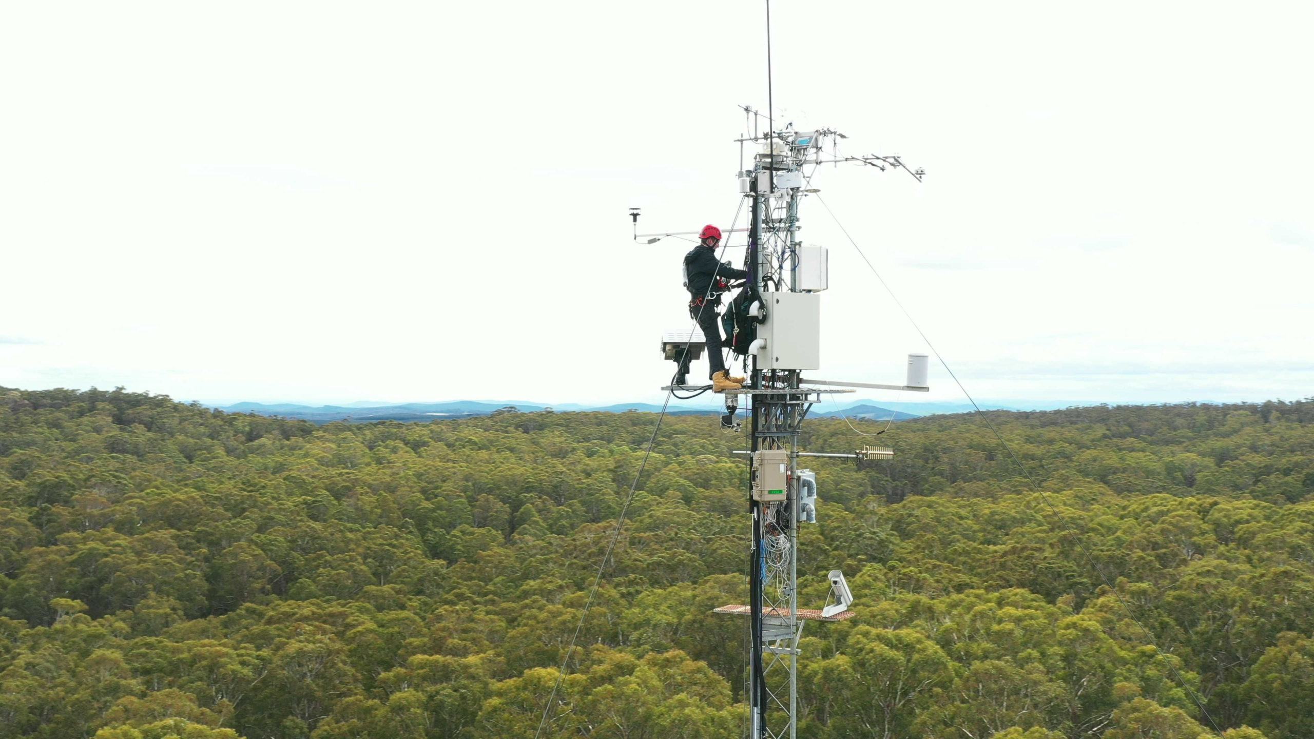
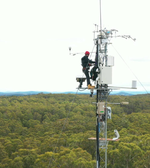
The appeal is thoroughly practical. Farmers lean on vegetation sensor data to forecast yields and steer irrigation; foresters track deforestation, pests and drought; ecologists follow biodiversity and the slow fingerprints of climate change. A growing trend is to fuse several data streams at once, an approach the Fraunhofer Institute for Physical Measurement Techniques has shown by pairing aerial imagery with ground LiDAR and soil readings for a whole-ecosystem view. Field platforms such as our RoX and FloX illustrate how continuous, high-resolution vegetation monitoring now reaches into everyday research.
Reflectance Box
Measuring reflectance effortless, the RoX is the all in one solution for your spectral survey.
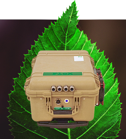
FIND OUT MOREFLUORESCENCE BOX
Measuring chlorophyll fluorescence easy and reliably, the FloX is the key to a new understanding of plants.
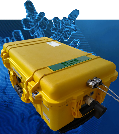
FIND OUT MORENIR reflectance BoX
Measuring Visible and Near Infrared radiance and reflectance, extending the RoX capabilities towards the NIR
FIND OUT MORE
JB Hyperspectral Devices GmbH
Am Botanischen Garten 33
40225, Düsseldorf – Germany